
GEORGIA · COASTAL COVERAGE REVIEW
Bryan County coastline
Plan a tidal waterfront day around Richmond Hill: fishing piers, boat launches and coastal marsh scenery. No independently verified named coastal beach guide is published for Bryan County yet. That is a research finding, not a claim that all shoreline is private or that no sand exists.
Start with the kind of day you want
For a road-access Atlantic beach, start with the Tybee North Beach and Tybee South Beach guides. They are in Chatham County. Richmond Hill’s official visitor guidance describes Tybee as its closest Atlantic beach; no travel time or current opening is implied.
For fishing or paddling, use the named Bryan waterfront places below. A fishing pier, kayak ramp or marina does not establish a public sand crossing, a swimming area or a snorkeling route.
Coastal waterfront places in Bryan
Fisherman’s Co-op Park & Boat Landing ↗
The county lists public waterfront recreation at 4434 Bryan Fisherman’s Co-op Road, with a pier, pavilion, marsh sitting area and small-craft boat access. This is a marsh waterfront reference, not a verified sandy swimming beach.
Tivoli River fishing pier and kayak launch ↗
Georgia DNR lists a fishing pier and kayak launch at 6950 Belfast Keller Road. The listed fishing access does not establish a step-free route onto beach sand or permission to swim.
Fort McAllister State Park ↗
The park offers coastal marsh and tidal-river recreation, fishing and boat access. Its published 2021 park map says swimming is not allowed anywhere in the park. Read the park map and rules ↗; campground facilities and boating access are separate from a beach visit.
Follow the managing authority’s current notices and ask about the exact arrival, facilities and route you plan to use. These references are not extra beach cards and do not increase the beach count.
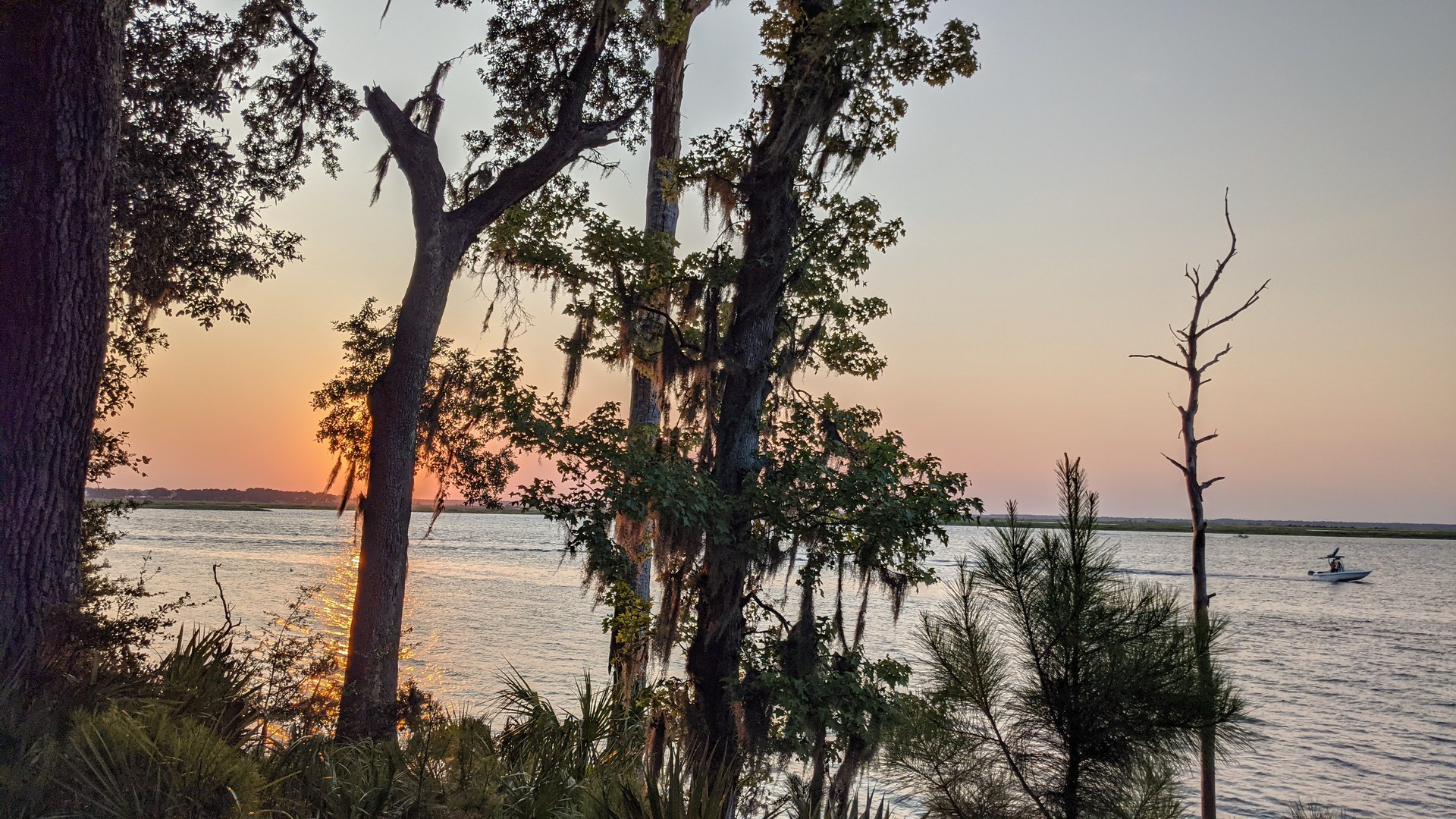
A view of the tidal waterfront

What remains under review
Fort McAllister Marina describes nearby low-tide sandbars as beach opportunities, but its description does not name a specific sandbar, establish its county, or confirm a lawful landing and usable route. Those candidates remain outside the beach collection while we seek exact information. Boat transport and a photograph alone would not settle those questions.
Ossabaw Island and Kings Ferry are retained in Chatham research rather than reassigned to Bryan. Sterling Creek’s lake recreation is inland and falls outside this website’s coastal coverage.
Clarity, snorkeling and clothing rules
No Bryan beach has been added as a clear-water, shore-snorkeling, offshore-snorkeling, clothing-optional, nude or topless destination. Without a verified named beach and location-specific evidence, those features remain unassessed here. Unassessed does not mean cloudy water or a prohibition. Fishing and boating descriptions do not establish snorkeling; full nudity and topless use require separate policy evidence.
Review scope and sources
Source research reviewed October 7, 2026. County and Georgia DNR waterfront listings, historical access observations and official visitor guidance were checked separately. This review is not an exhaustive survey of every tidal shore or a same-day site inspection. Unnamed sandbars and exact current routes remain scoped follow-up tasks.