
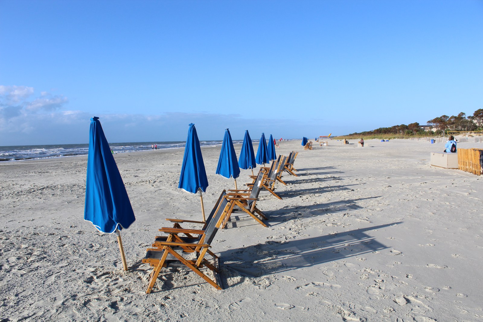
A photograph can make you want to visit a beach. It cannot tell you how far you will see underwater, whether the latest bacterial sample met the local standard, or whether swimming conditions are suitable when you arrive.
For a better beach plan, separate three questions: What is the water usually like to look through? What does the responsible monitoring program report? And what are the conditions at this entrance today? Each needs its own evidence.
Three questions, three kinds of evidence
- Visibility: Can you see through the water at the named shore? Look for beach-specific underwater observations and their limits.
- Water-quality advisories: What did the responsible program measure, where, and when? Check the current local notice.
- Swimming conditions: What do the local forecast, posted warnings and lifeguards say? A photograph or laboratory result does not answer this.
Our recommendation is to keep those answers separate in your planning notes. A favorable answer to one should never fill an unknown in another.
Clear-looking water is an optical observation
The U.S. Geological Survey explains turbidity as a measure of relative water clarity based on how material scatters light. Sediment, algae and other material can affect it. That explains why cloudiness matters to visibility, but an instrument's turbidity reading is not automatically a beach-specific snorkeling-distance estimate.
Ask what the evidence actually describes: an underwater observation at this beach, a measurement elsewhere, or the appearance of the surface in a photograph? A regional description is a lead to investigate. It is not a substitute for an assessment of the named shore.
Even a useful description of typical visibility is a planning expectation, not a promise for your visit. Keep a scenic photograph in its proper role: inspiration, with a location and date, rather than a visibility certificate.
A bacterial report answers a different question
EPA explains that beach advisories and closures commonly follow bacterial samples indicating that harmful microorganisms may be present. Polluted runoff and untreated sewage are among the sources it identifies. You cannot replace that monitoring with an attractive water color.
When reading a report, write down the sample location and collection date. Keep the report's retrieval or update date separate. A page opened this morning may contain an older sample, and a result for one monitored segment should not be stretched across every nearby beach.
Follow the responsible authority's current advisory or closure. A historical favorable result is not permission to disregard a new warning, and an unknown result should remain unknown.
Check the responsible local source for today
EPA's beach-information guide distinguishes historical national reporting from current local decisions. It notes that its BEACON database does not provide current advisory or closure information. Use the linked jurisdictional program to find the current notice for the place you intend to visit.
Then make a separate swimming-condition check. The National Weather Service recommends checking the local beach forecast and speaking with the lifeguard. It warns that rip currents can occur on calm, sunny days. Blue sky and appealing water are not enough to settle the swimming decision.
A forecast describes predicted conditions; a posted flag or lifeguard report describes a different source and time. Retain those distinctions instead of turning one into the other.
How to use our clarity and snorkeling filters
Use Explore Beaches to narrow your choices, then read the individual guide and its sources. Our “Typically clear water” filter requires supported positive clarity evidence. “Not yet assessed” is not a match. A water-quality sample, a photograph or a forecast cannot supply the missing visibility assessment.
Shore snorkeling requires its own positive evidence. Do not assume that clear water establishes a lawful or documented shore-snorkeling route, or that an offshore boat excursion establishes snorkeling from the beach. Check the activity's exact location, arrival route, restrictions and evidence separately.
For a broader introduction to these distinctions, read our Florida water-visibility planning guide; its destination examples remain Florida-specific. The research methodology explains how we handle evidence and unknowns.
Sources and a useful departure checklist
Before leaving, save the named entrance, the responsible water-quality program and its current notice, the relevant beach forecast, and the activity information you intend to rely on. If snorkeling remains unassessed, plan an outing that does not depend on it.
USGS, EPA and National Weather Service sources linked above were checked October 11, 2026. They support the scientific distinctions and source-checking approach; they do not certify today's conditions at any beach. The planning checklist is editorial guidance. The archival Coligny Beach photograph illustrates a coastal outing and makes no claim about present visibility, bacterial results or swimming conditions.
Published and source-checked October 11, 2026. We favor original reporting, authoritative sources and clear limits over search-driven filler. Read our corrections policy or report an issue.